| | HOME | AREA ATTRACTIONS | OUTDOORS | EVENTS | COMMUNITY | PHOTO GALLERY | BUSINESSES | |
| | HOME | AREA ATTRACTIONS | OUTDOORS | EVENTS | COMMUNITY | PHOTO GALLERY | BUSINESSES | |
Wilderness Area
|
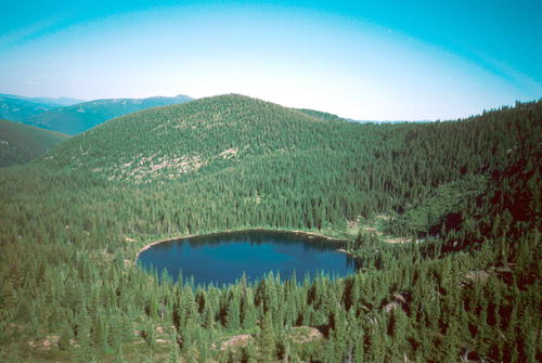
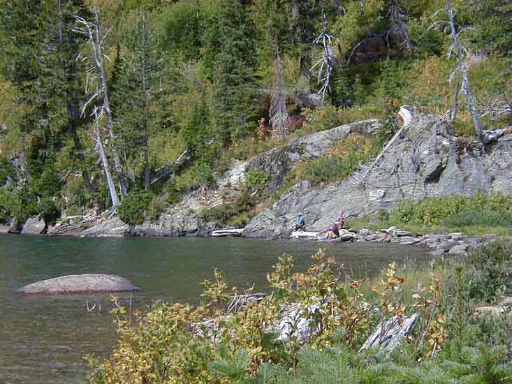
The Cabinet Wilderness Area is a backpacker's dream! (More Pictures) |
|

Ranges of high, craggy peaks mark the Forest with Snowshoe Peak in the Cabinet Mountains Wilderness at 8,738 feet, the highest point. Other high mountain peaks include A Peak-8634 ft, Bockman-8174 ft, Elephant-7938 ft, St. Paul-7714 ft, Treasure Mountain-7694 ft, Bald Eagle-7655 ft, and Mt. Snowy-7618 ft.
Hikers and backpackers are encouraged to "Pack it In and Pack it Out" and practice minimal impact camping techniques, including proper food storage and waste disposal techniques. The Cabinets are home to many species of wildlife, including black and grizzly bears. Visitors are strongly advised to check in with the local Forest Service office for current trail conditions and advisories before venturing into the wilderness area. This is especially true during late summer fire season. Hikers should be familiar with the area they plan to be in, and have alternate routes in mind in case of emergencies or fires. Trail maps and guide books are available at sporting goods shops in town. For
further information contact: |
 |
 |
|
Recreation Map. Click for larger image.
|
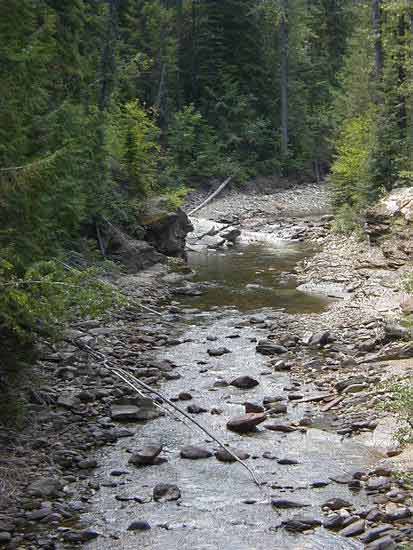
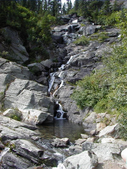
Tumbling mountain streams.
|
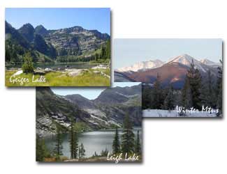
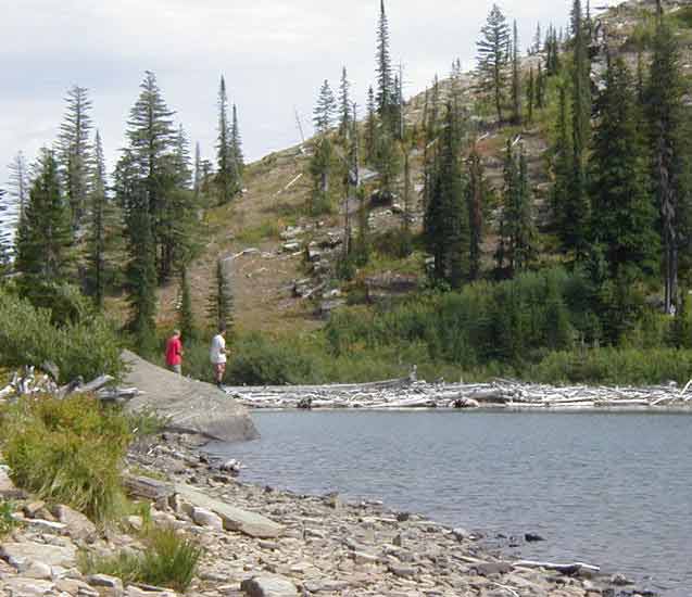
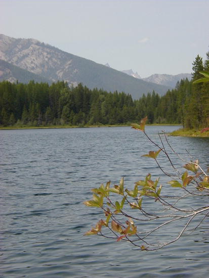
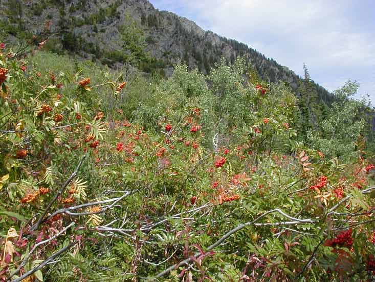
More
Cabinet Mountains pictures
(Click on picture or link for a larger view)
 Click for larger view |
 Click for larger view |
 Click for larger view |
 Click for larger view |
 Click for larger view |
|
 Click for larger view |
 Click for larger view |
| | HOME | AREA ATTRACTIONS | OUTDOORS | EVENTS | COMMUNITY | PHOTO GALLERY | BUSINESSES | |